Bedrock’s autonomous ocean-mapping ambitions score $25M as renewables rise
The demand for offshore wind has skyrocketed, like all renewable energy sources — but the necessary work of surveying, inspecting and mapping coastal areas is stuck in the past. Bedrock’s autonomous underwater vehicles and digital platform play could redefine the sector, and the company has attracted $25.5 million in new funding to attempt it.
Every wind turbine in the sea is really a half-submerged building, and buildings need strong foundations and regular inspections — more than above-water buildings, even. Ordinarily the kind of sea-bottom surveys that energy companies rely on (for oil and gas as well as turbine placement) are performed using powerful sonar units carried by relatively large ships.
But this method has innumerable downsides: the cost and inefficiency of the ships and crews themselves, the frequency and volume of the sonar disturbing wildlife, the relatively limited details provided and the inflexibility of the legacy data these often cold-war-era tools provide or feed into.
Robotic exploration has provided an alternative, but it brings its own issues, primarily of cost and scalability: Making an autonomous underwater vehicle is one thing, but if it can’t meet commercial demand, it’s an experiment, not a product.
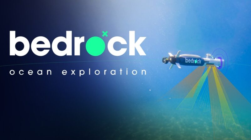
Bedrock sensed that the time had come for a proper AUV-as-a-service back in 2020, and since then has gone through several iterations of its (sadly unnamed) vessel, and created an online platform, Mosaic, for the data it captures. (We actually recorded a podcast with co-founder Anthony DiMare last year about this.)
The AUV itself was built out of necessity, as off-the-shelf solutions were inadequate, and after assembling “2.8” of them, the production version is locked and ready to stamp out at scale. (It is perhaps worth mentioning here, with the OceanGate tragedy fresh on many minds, that this is a completely different class of vehicle, uncrewed and not meant to go to such crushing depths as those at which rest the wreckage of the Titanic.)
But although the company is proud of its vehicle, the sensors onboard and the data they collect are infinitely more important. Because the vehicle skims along a matter of meters above the seafloor rather than up on the surface, there are more and better tools at the team’s disposal.
While a ship passing overhead might collect a fair representation of the depth and shape of the surface below it, many details are difficult or impossible to collect. Bedrock’s AUV, however, has quite the suite going:
- Bathymetry, the seafloor shape
- Backscatter, the hardness of the seafloor substrate (e.g. stone, sand or silt?)
- Side-scan sonar, used to detect the outlines of objects, a bit like lidar does
- Magnetic readings for detecting metallic objects (such as wrecks, unexploded ordnance or trash)
- Soon, sub-bottom sonar profiling that characterizes below the surface
There is also the considerable advantage that this data could conceivably be collected and delivered in the space of a day — compared with months or even years for traditional oceanographic surveys. At a time when projects like wind farms need to move fast or risk losing out on federal contracts or valuable land deals, this is a major consideration.
DiMare explained that these offshore wind developers are already paying big money for seafloor mapping and reconnaissance, but still have to wait on not just a slow-moving and aging data stack to serve up the info, but an equally slow-moving and aging bureaucracy — delays upon delays. No one wants to wait, but their options are limited — the faster they can get and confirm this data, the better it is for everyone involved. Then there’s the implicit value of seafloor monitoring to scientists, the military and advocacy organizations as well.
Bedrock co-founders Charles Chiau (center) and Anthony DiMare (right), and a crew member. Image Credits: Bedrock
He also said that Bedrock’s approach has evolved from a potentially project-based one to a more self-powered data play. You may naturally think that the business model ought to be that Company A says “come and scan this harbor and coast for us” and Bedrock does so and bills them accordingly — essentially a faster, richer version of the service that company already uses.
But this runs into issues as the business grows. For one thing, you end up deep in logistics, shipping your AUV all over in order to do as many customers’ bidding as possible. For another, in this model the customer then probably owns the resulting data — valuable data that Bedrock collected!
On the other hand, if Bedrock were to identify valuable areas to survey on their own, they could do so on their own time and then sell that data to whoever wanted to pay for it — act as a data provider, not an AUV provider. It’s a potentially less complex approach that also maintains control over the valuable intellectual property the company is creating.
And so, after two years of prototyping and business refinement, the company has lined up investors for a $25.5 million A round (following an $8 million seed in 2021). The round was co-led by Northzone and Primary Venture Partners, with participation from Valor Equity Partners, Eniac, Quiet Capital and R7. (Individuals and “prolific angels” are in there but not noted by name.)

Image Credits: Bedrock
DiMare said that the money will put the company in a position to demonstrate commercial viability. It knows it can collect data, but “can we turn that dataset into money?”
“This allows us to make some bets and experiment in how we can accelerate the offshore wind industry,” he told me. “The bigger mission is to explore and map the whole ocean, but more immediately we need to build these wind farms. There’s more demand than what we can service and complete, so we need to be able to build out a team of people and get operations all over the East coast.”
Lest you think that Bedrock’s business will extinguish as its customers (many of them riding on the Inflation Reduction Act) wear out, remember that these wind farms are long-term installations that require inspection and maintenance that in many ways is as old-school as the surveying process. The data play might be good for getting regular income now, but as the company’s fleet grows it will probably have its work cut out for it monitoring the fast-growing forest of wind turbines it has helped establish.
Even if the offshore wind capacity built doesn’t meet federal goals (and it’s more likely that it will exceed them), that is still essentially a green (or blue) field market for companies like Bedrock.
“We are not entering a future where less information about critical infrastructure is acceptable,” DiMare said. “If you want anything to happen you’re going to need to understand what’s going on in the ocean. Is it a $10 billion or a $20 billion market? 20 would be better, sure… but 10 isn’t bad either.”
Bedrock’s autonomous ocean-mapping ambitions score $25M as renewables rise by Devin Coldewey originally published on TechCrunch


